A Road Trip and the California Coastline
The highlight of our trip was always going to be our drive up the iconic Pacific Coast Highway. Two days of ocean views, beach towns, and empty roads along the California coastline lay ahead of us, as we prepared to leave sunny Southern California behind for the more temperate climes of the Bay Area. There are a lot of options in terms of how to fill in a coastal California itinerary, depending on how long the road trip is – state beaches, national parks, oceanside towns, etc. Below you’ll find the stops that we made throughout our two days on the road, and my quick thoughts on each place. As a side note, the Big Sur section of the highway was closed due to landslides, which was a little disappointing, but, hey, what are you going to do. The non-Big Sur sections are still amazing, and very much worth the drive.
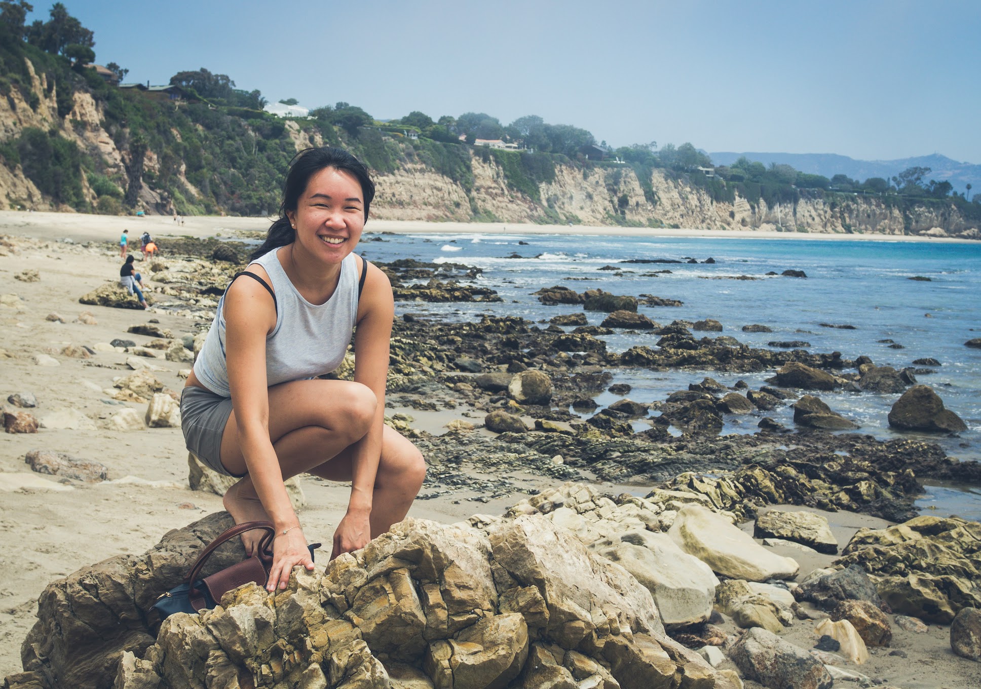
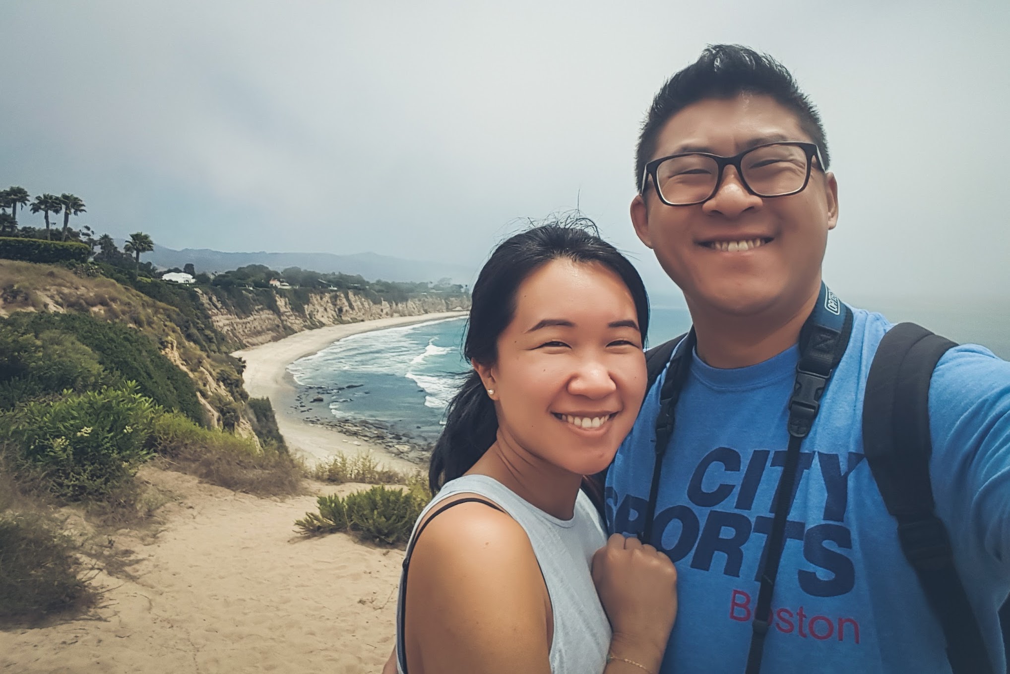
Point Dume
After our supremely satisfying breakfast at Grand Central Market, where I ended off my last post, we navigated through the streets of LA one last time before getting onto the highway at Santa Monica. Our first stop was Point Dume in nearby Malibu, a rocky promontory named after a Spanish Franciscan missionary – as well as the location of Tony Stark’s fictional cliffside mansion. We parked our car in a small lot on Cliffside Drive – it’s free, but spaces are limited – and walked across a small field towards the blue waters of Dume Cove. There’s a wooden staircase that goes from the cliff onto the beach, and we spent some time down by the seashore, in the shadow of Point Dume.
El Matador State Beach, Mugu Rock, & Santa Barbara
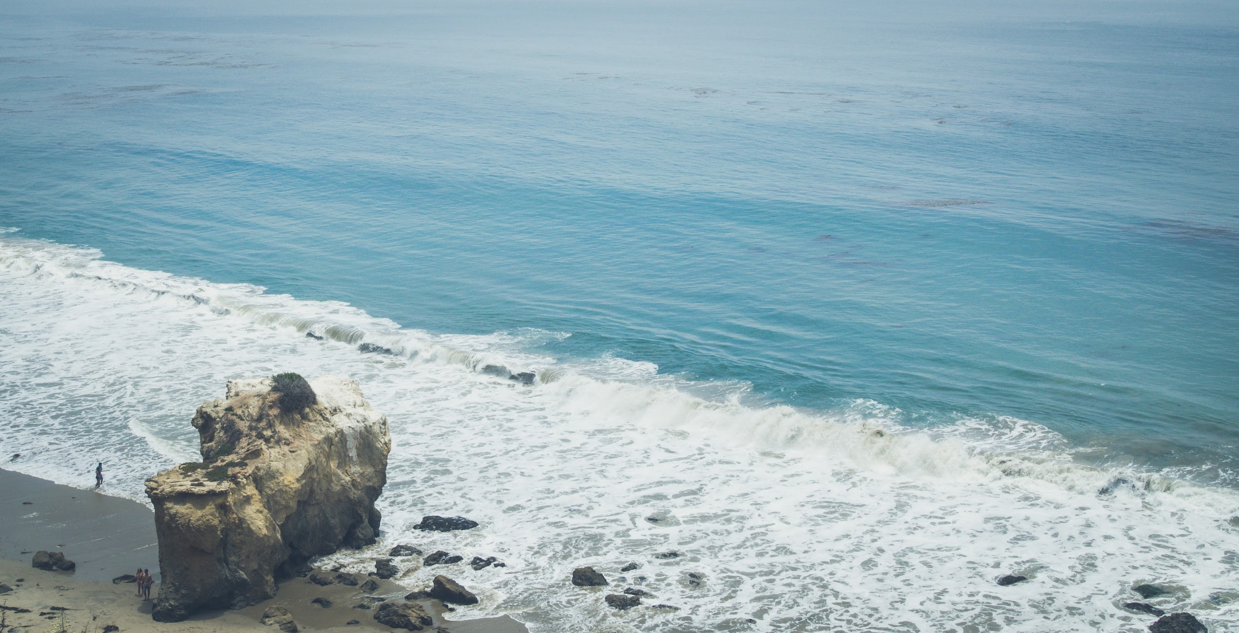
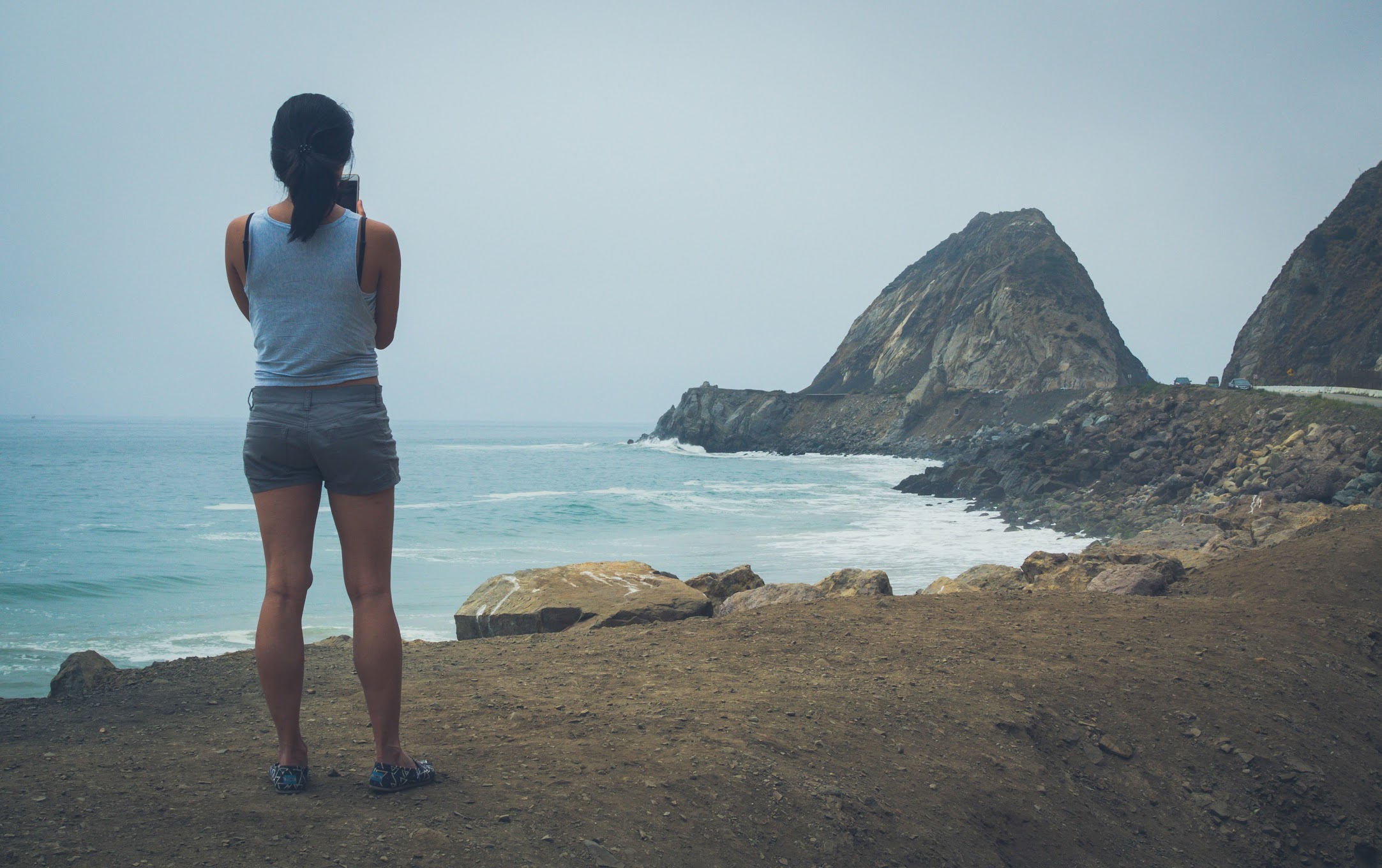
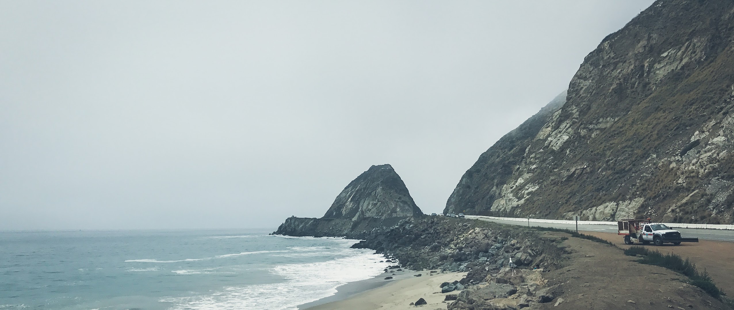
Our next two stops were pretty close by – El Matador State Beach was about ten minutes down the road, and Mugu Rock was about a thirty minute drive from El Matador. A critical factor in terms of the time we actually spent in those two locations was how badly I needed to find a restroom, and that was a little unfortunate. El Matador State Beach looked beautiful from above, but I was sweating bullets from the exertion of keeping things inside of me, and I do regret not being able to spend more time there. Mugu Rock, which was created when engineers blasted through a mountain ridge to make way for the Pacific Coast Highway, is kind of just there. It is what it is, and there’s not much more to say about it.
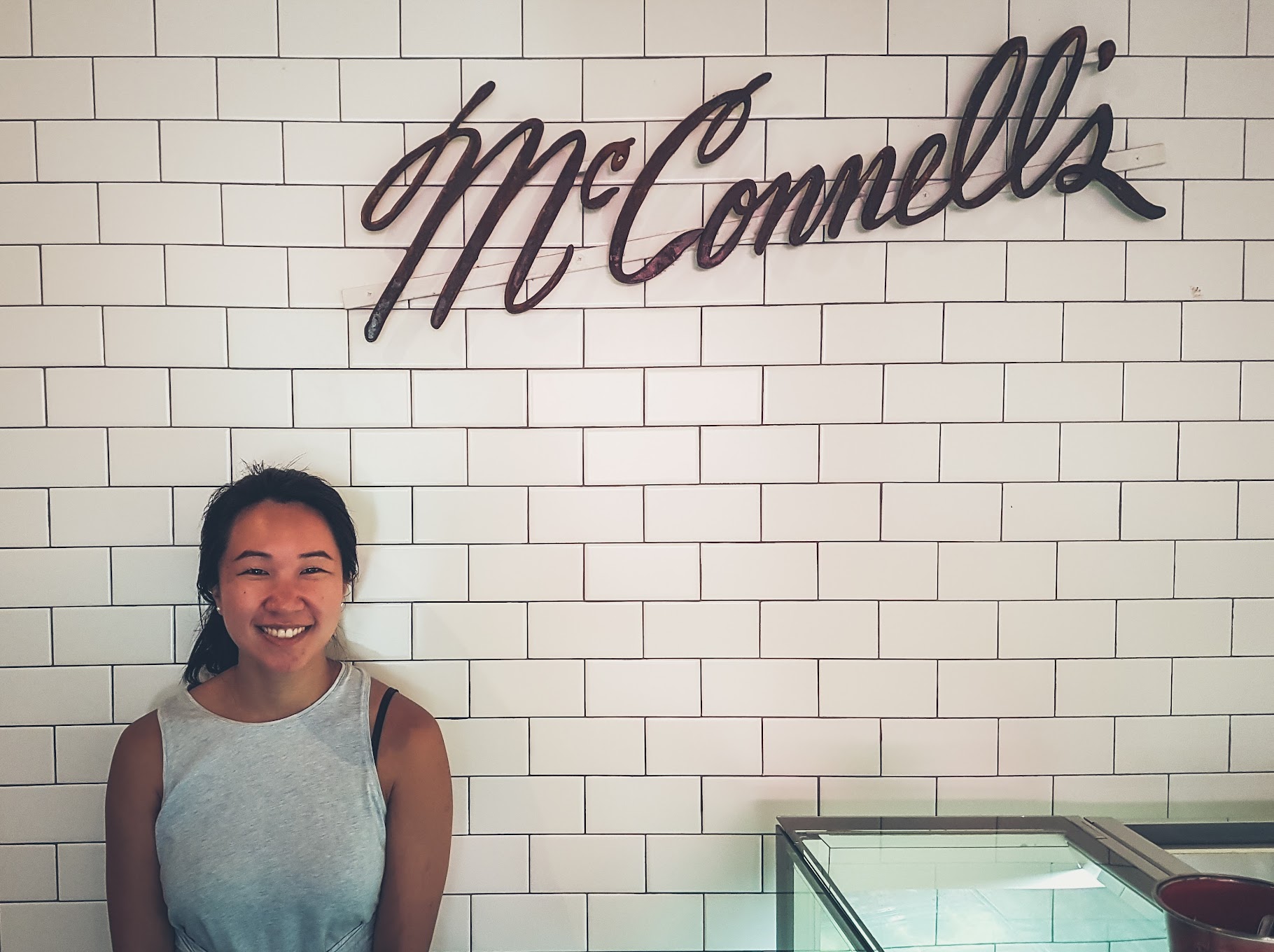
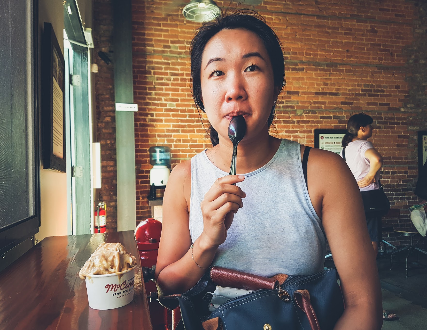
After Mugu Rock, we didn’t have any stops planned until Santa Barbara. It’s about an hour-and-half drive between the two, and it was well past lunch by the time we arrived. After parking our car at the Santa Barbara Public Market, we took a leisurely walk down State Street, enjoying the afternoon sunshine. We really didn’t have much planned in town, nor did we plan to spend much time here, but we did grab an ice cream from McConnell’s Fine Ice Creams, and it was excellent.
New England Vibes at Pismo Beach
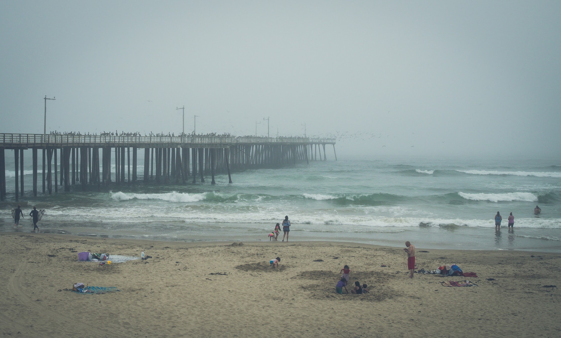
The highway between Santa Barbara and our next stop, Pismo Beach, takes drivers through some unexpectedly stunning countryside. We weren’t able to take a proper picture, but the entire landscape was rolling yellow hills and leafy trees – dark woods and angular branches commanding entire hillsides. Once through to the other side of those hills, however, we found ourselves facing a wall of grey coming in from the ocean.
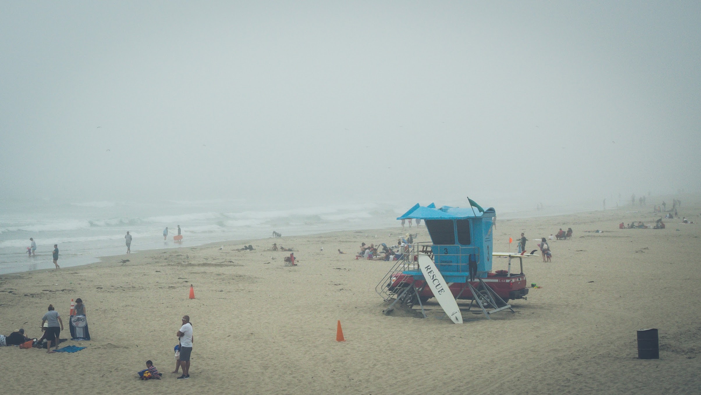
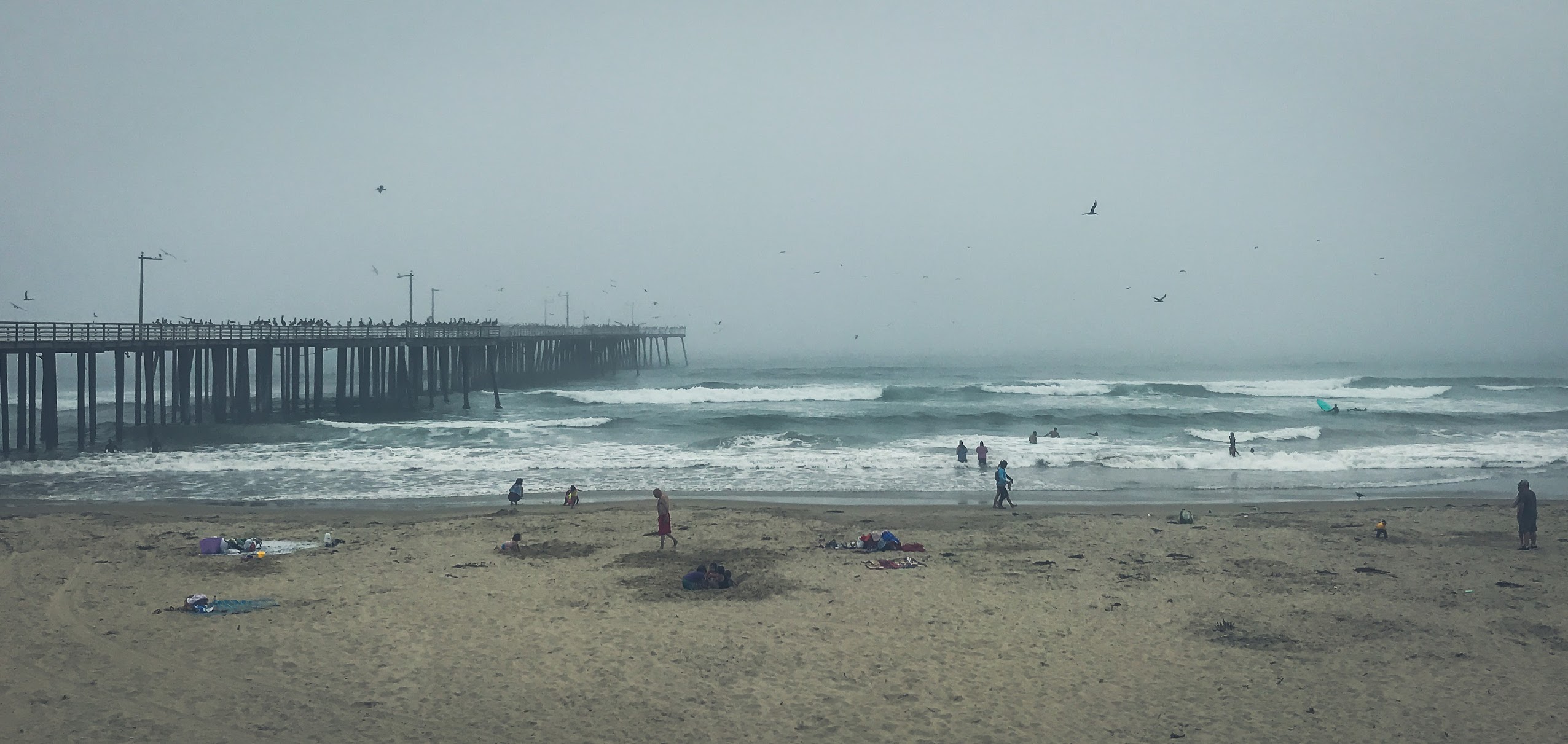
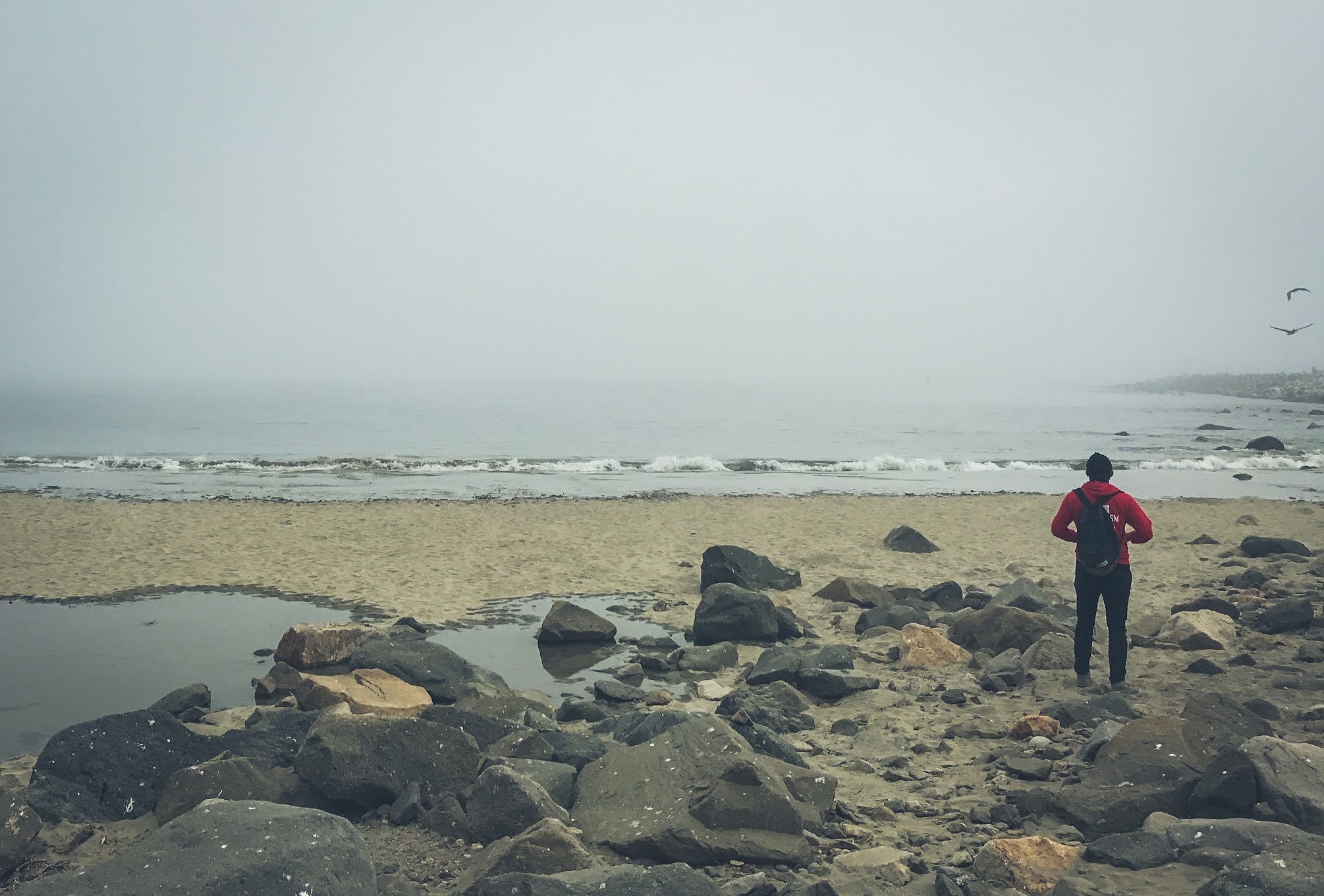
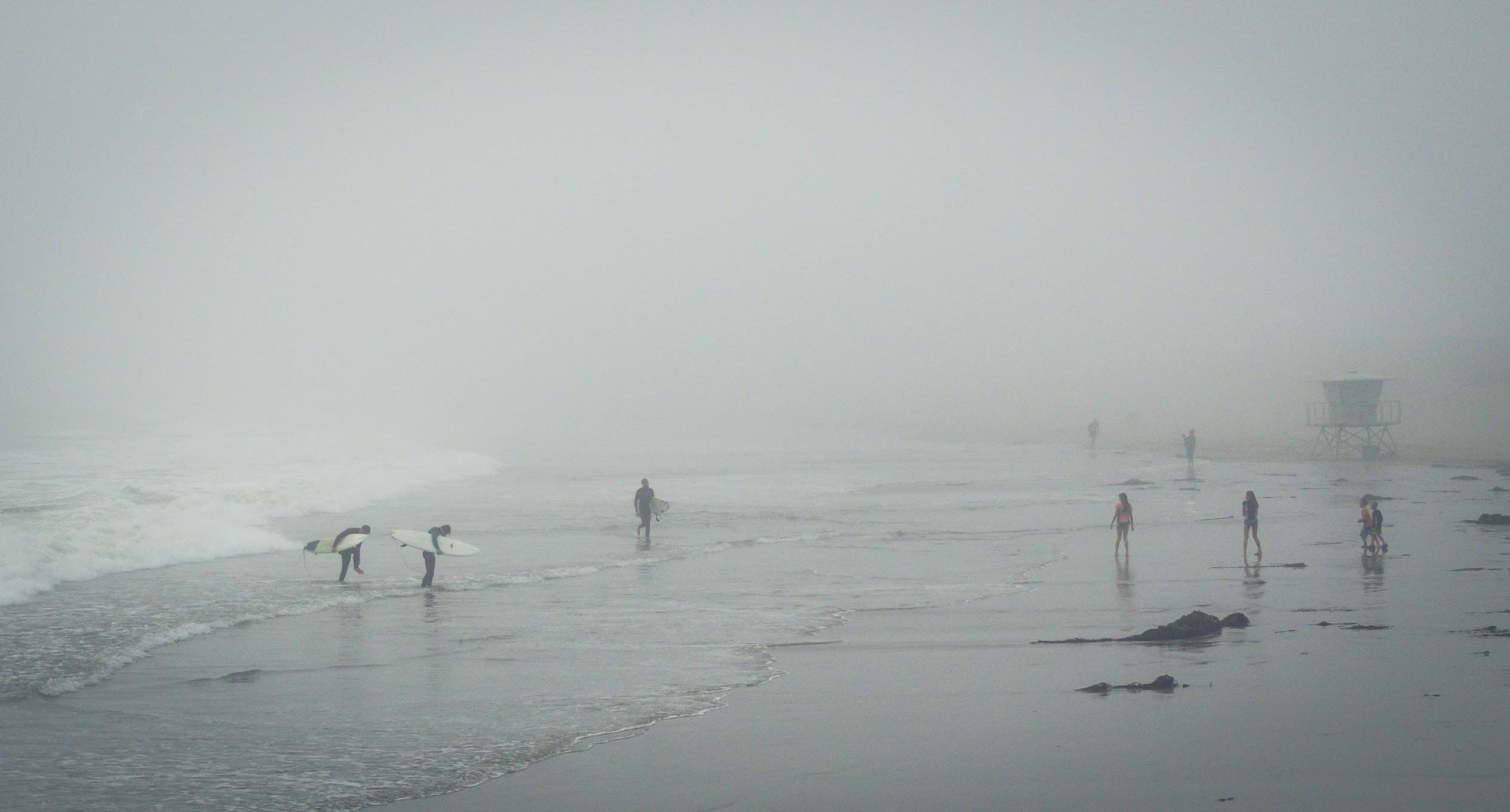
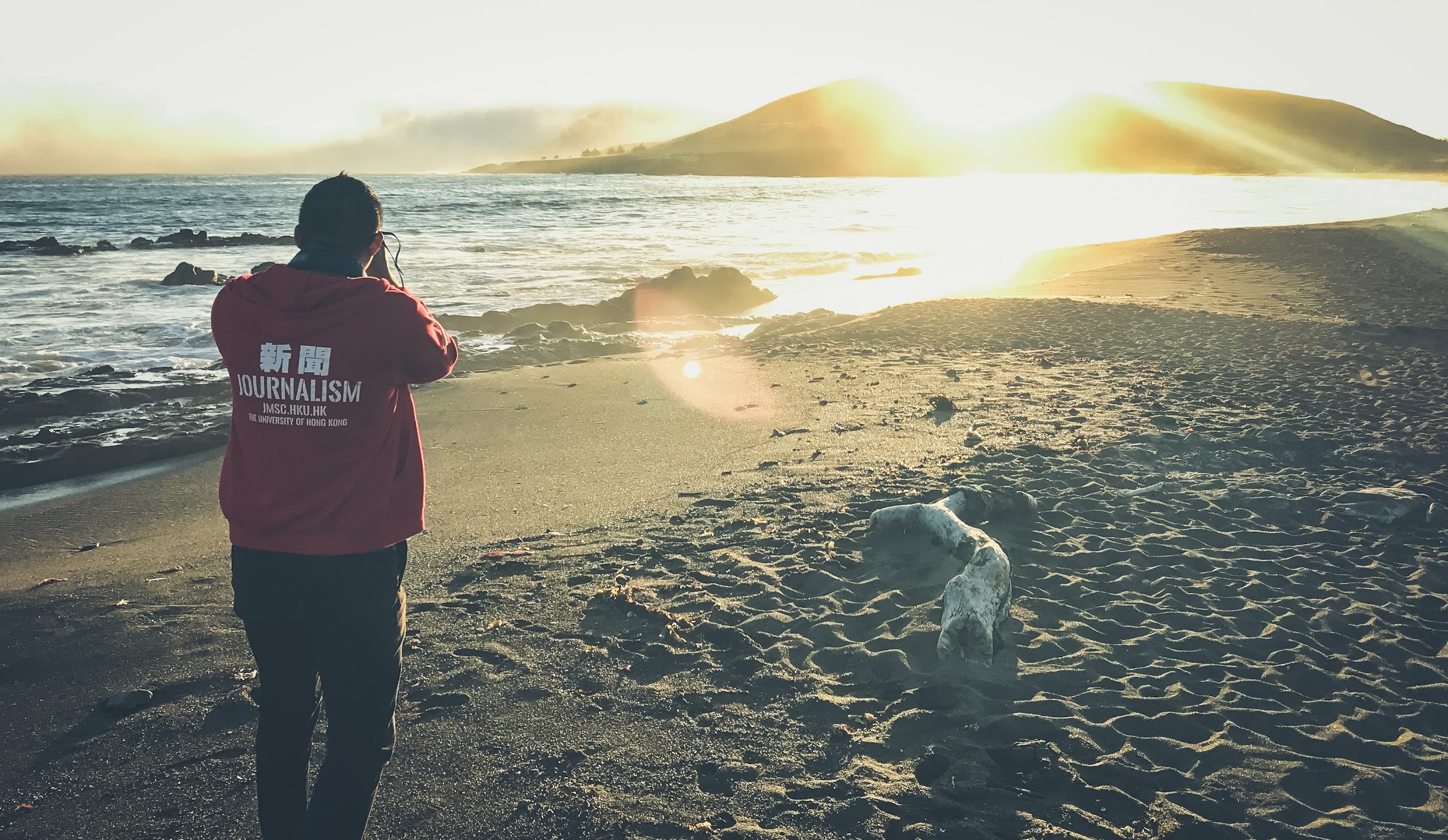
It was downright chilly by the time we parked our car and began walking through the town of Pismo Beach. A thick layer of fog obscured anything beyond the end of the holiday town’s wooden pier, which was off limits anyway due to construction. Troops of pelicans laid claim to the wooden fences and pilings, temporarily free from human intrusion. There was a very New England-y vibe about the whole place, which was only enhanced by the clam chowder we had at Splash Café – a locally famous clam chowder restaurant.
Morro Bay and the Ocean Fog
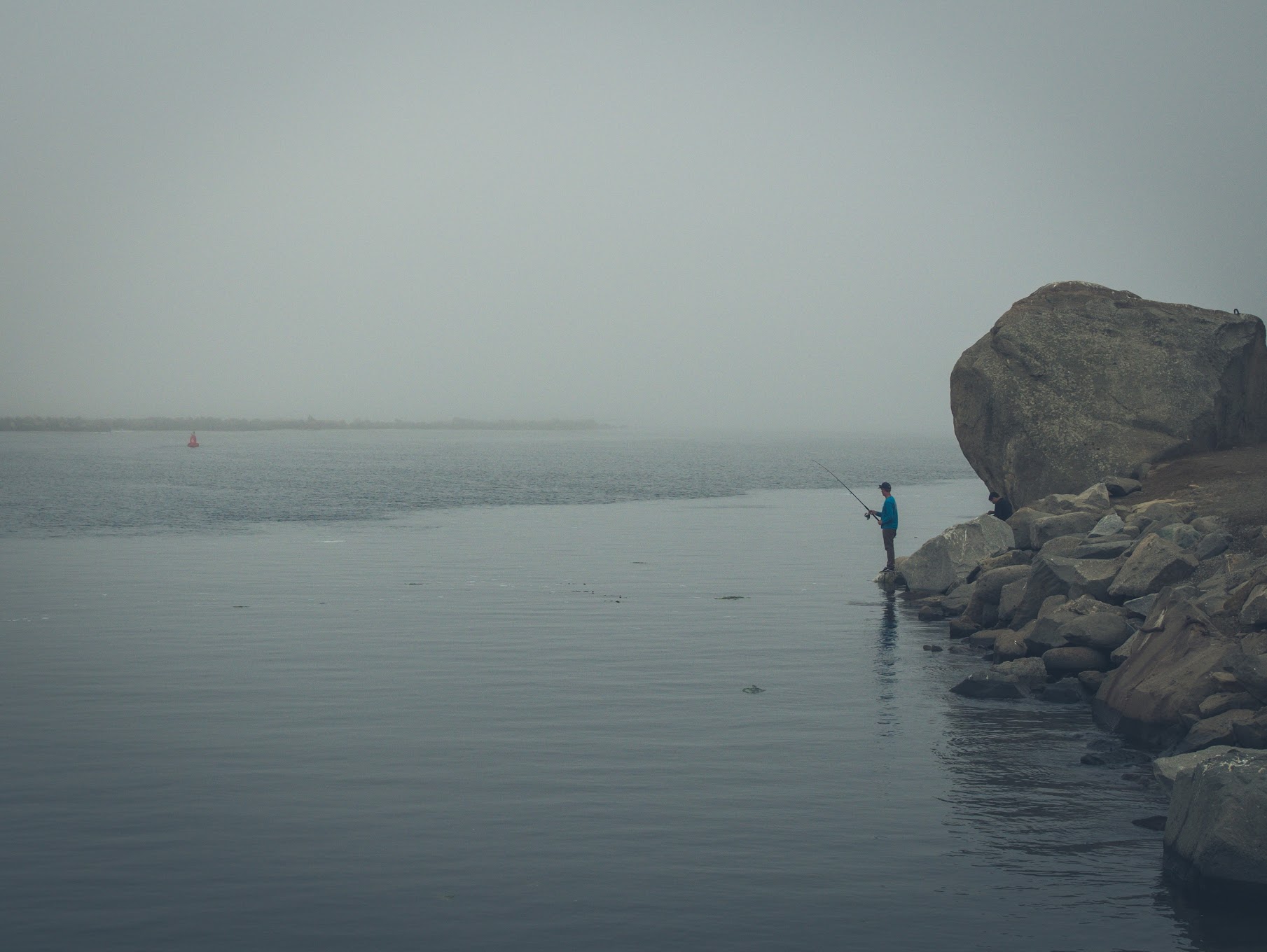
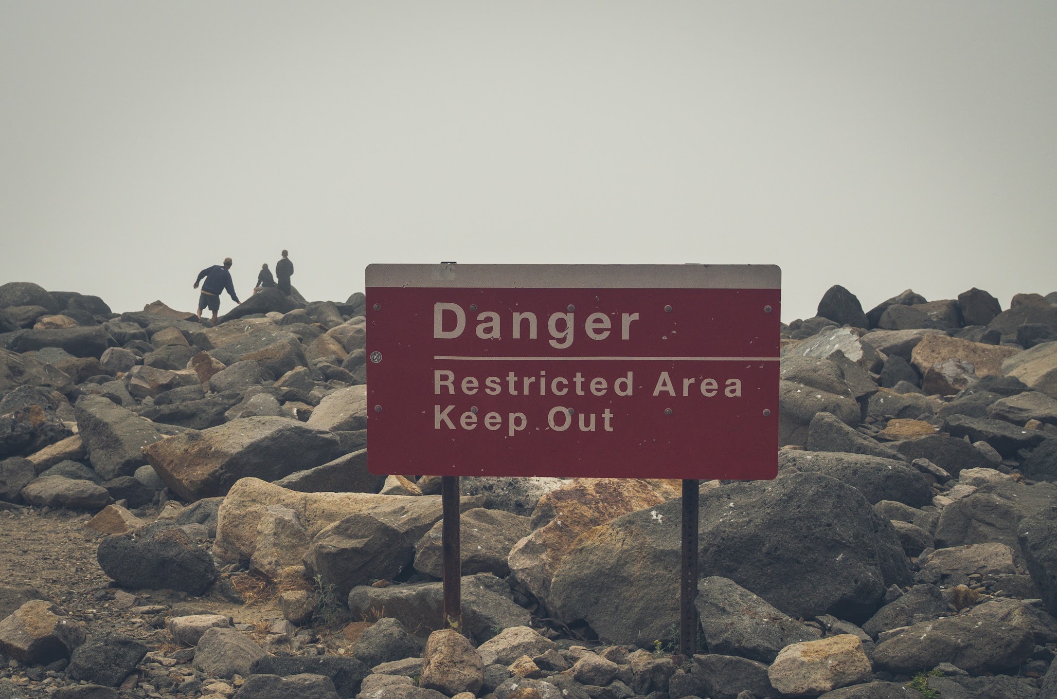
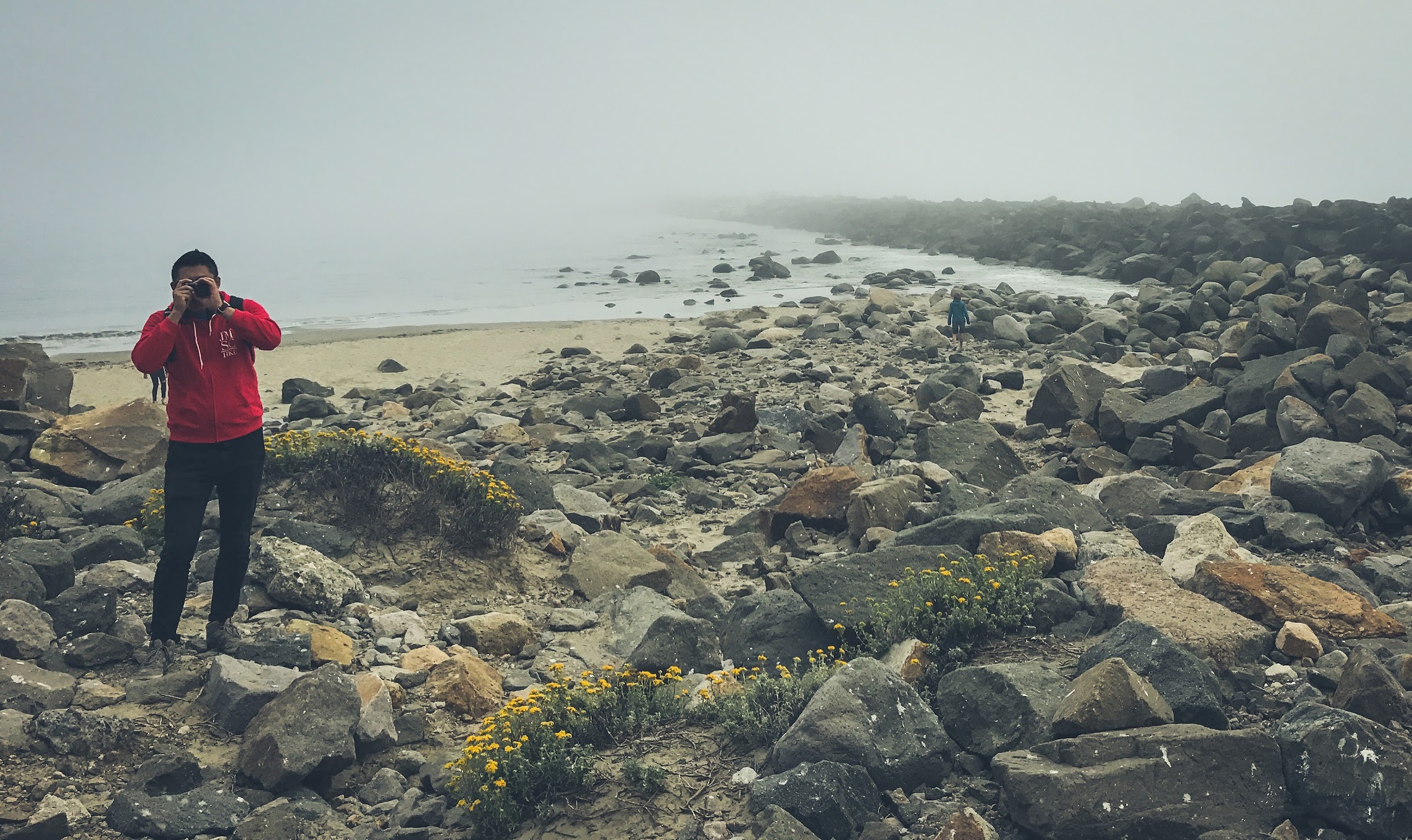
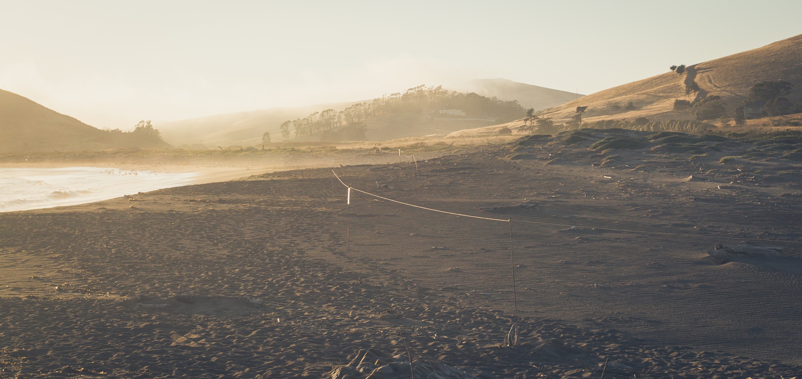
Thirty minutes north of Pismo Beach is a town called Morro Bay. The sunshine briefly re-emerged on the road in between the two seaside stops, but Morro Bay itself was enveloped by the same ocean fog further down the coast. The main attraction here is a 580-foot-tall dome known as Morro Rock. The former island – now connected to the mainland by a narrow causeway – was and is a sacred site for local indigenous groups, and climbing is illegal for people outside of the Chumash and the Salinan tribes. Walking around the base of the rock is completely fine, though, so that’s what we did. The foggy weather wasn’t ideal, but it made for some atmospheric shots among the ancient volcanic cliffs.


The Pastel Sunset
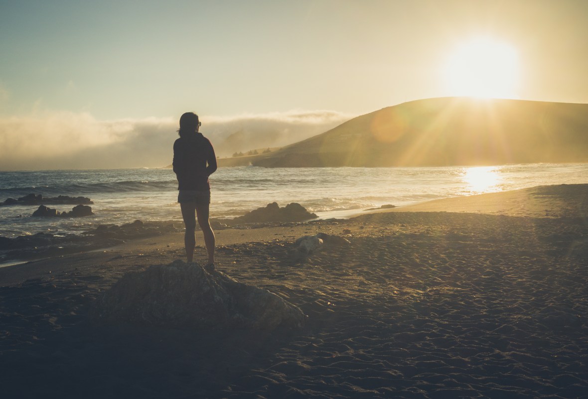
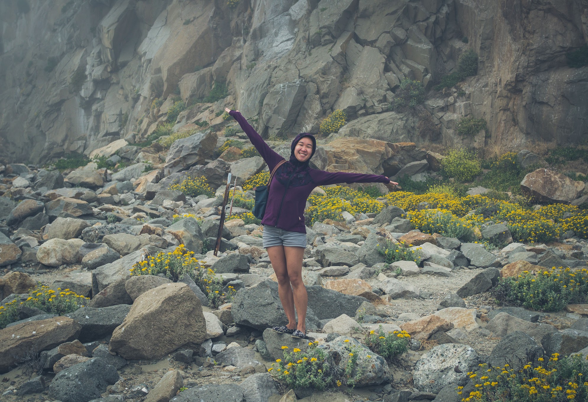
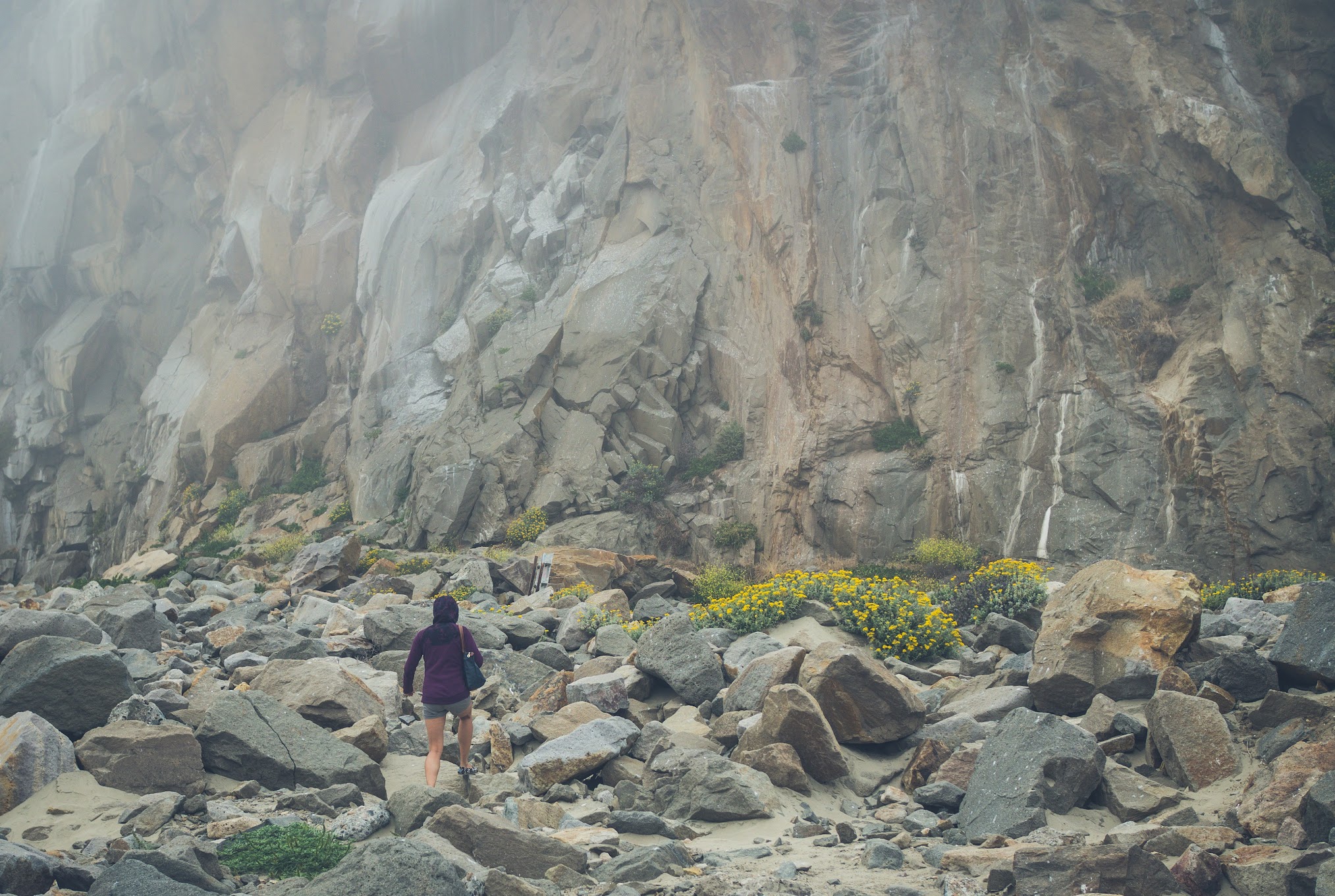
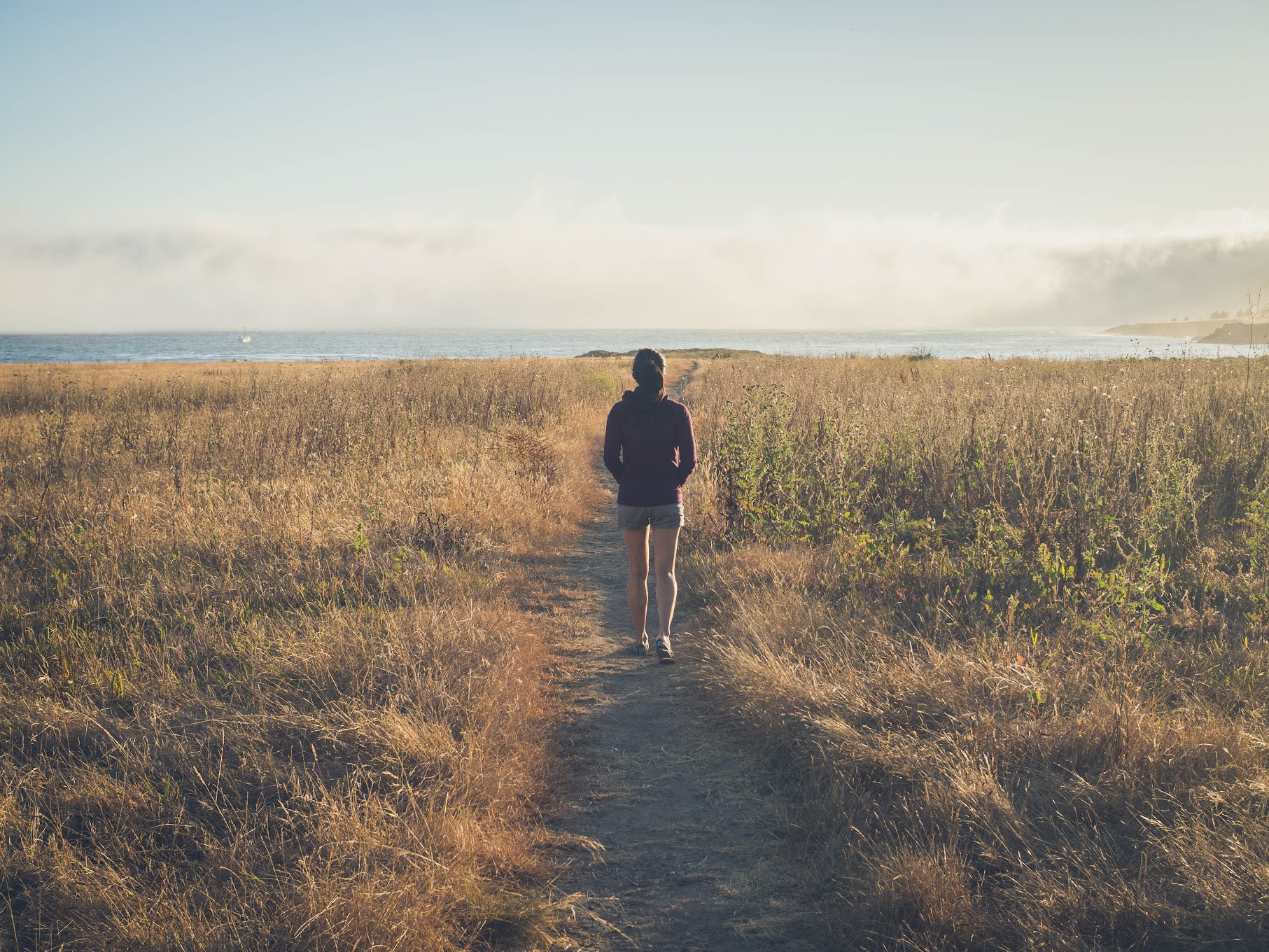
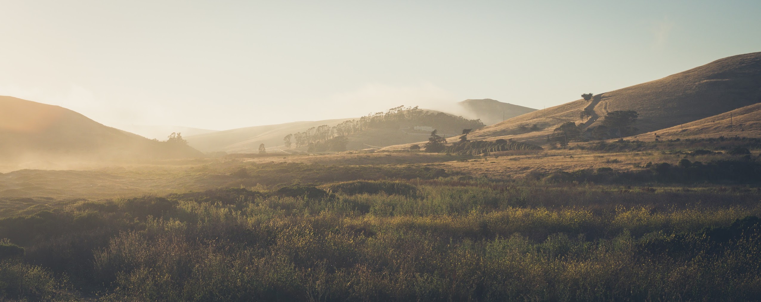
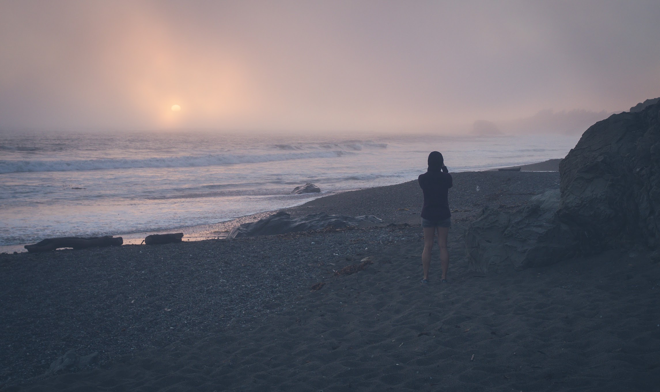
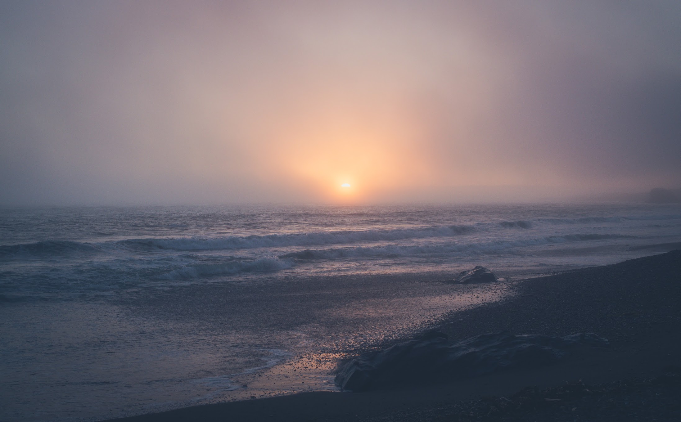
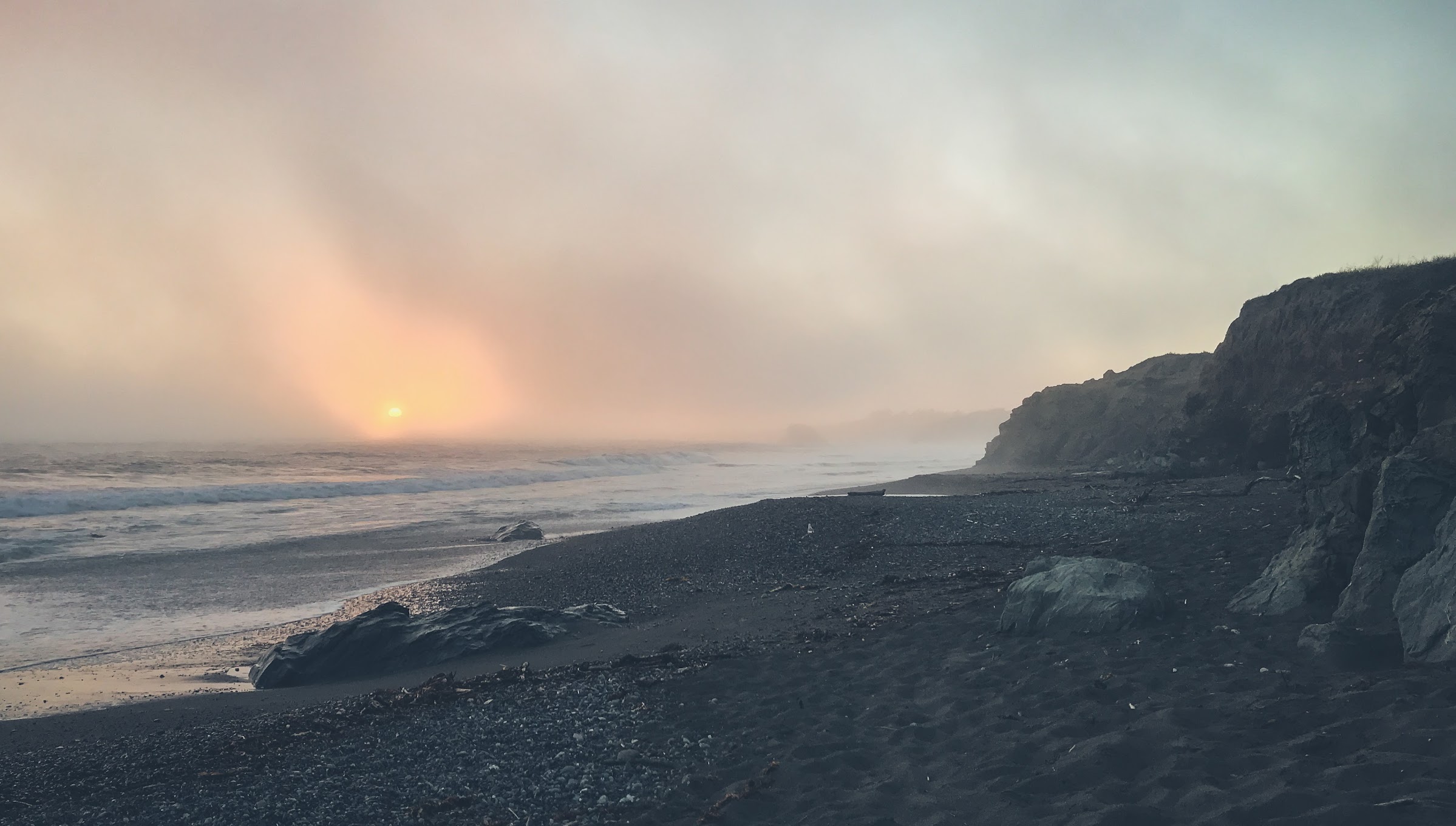
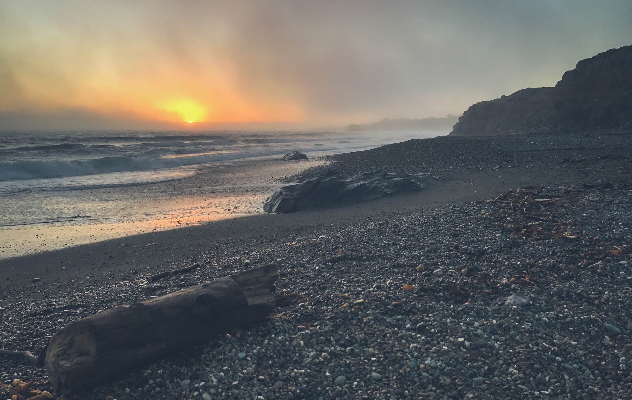
The fog lifted again once we left Morro Bay and started the final stretch towards the mid-way point of our road trip, San Simeon. Golden sunlight bathed the surrounding hills and fields, and we made a couple of unplanned stops in the San Luis Obispo area to take in the setting sun. The first one required walking through a field populated by field mice – they leave you well enough alone, but there’s a constant cheeping and rustling in the grass that might put someone off – at the end of which is a beautiful deserted beach. A few miles off the coast, the wall of fog lingered like an impending plague, but it was all sunshine and salt breezes by the shore.
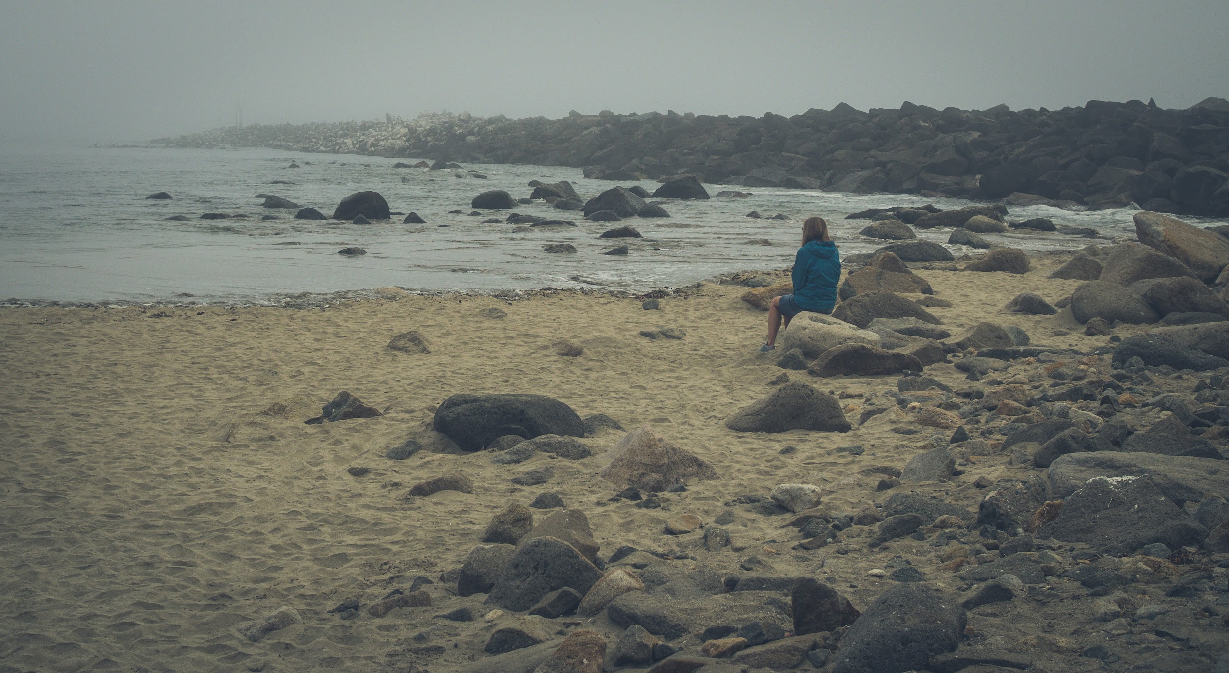
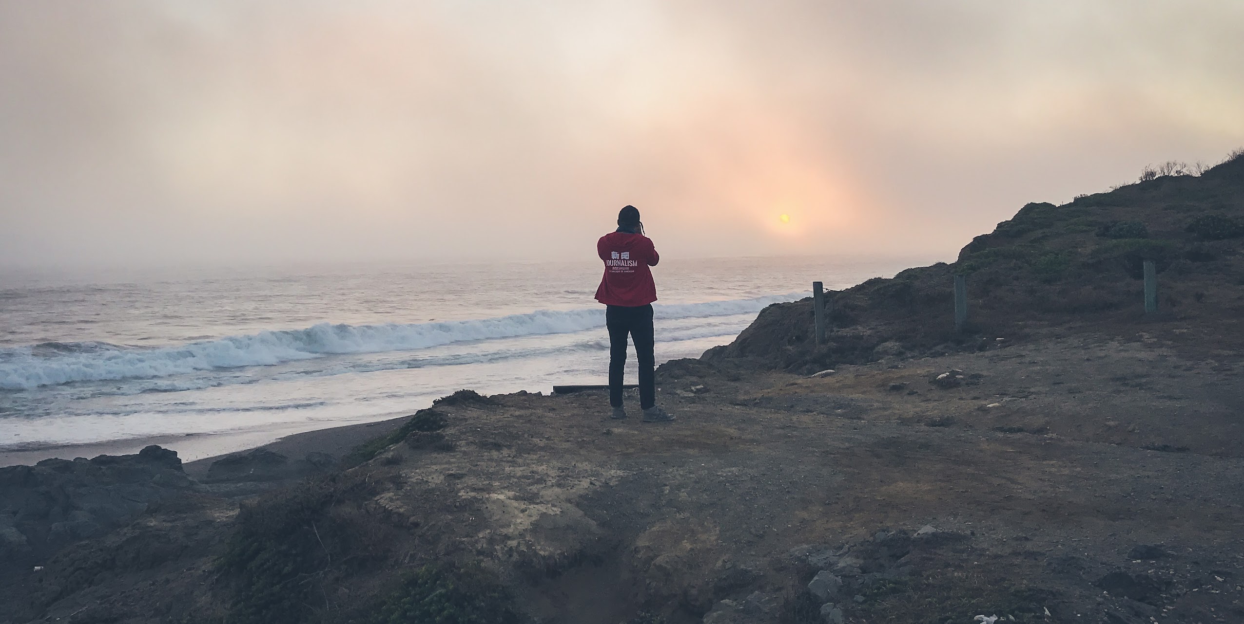
A few minutes down the road, we pulled over at another beach to watch the sun setting through layers of fog. Ashley and I have seen some spectacular sunsets in our travels – Boracay in April, Myanmar over the new year, Sri Lanka two years ago, Istanbul a few years back – but I can honestly say I’ve never seen one like this before. The fog filtered the sunlight into this exquisite, diffuse glow, painting a pastel landscape in front of us – soft lavenders, pinks, roses, and mauves, as the tides lapped gently on the shore.


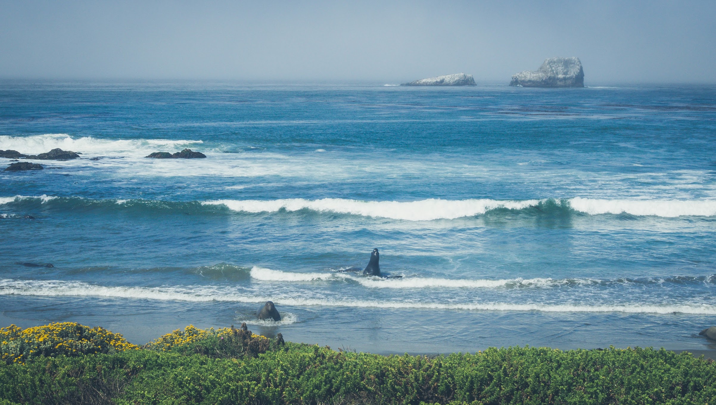
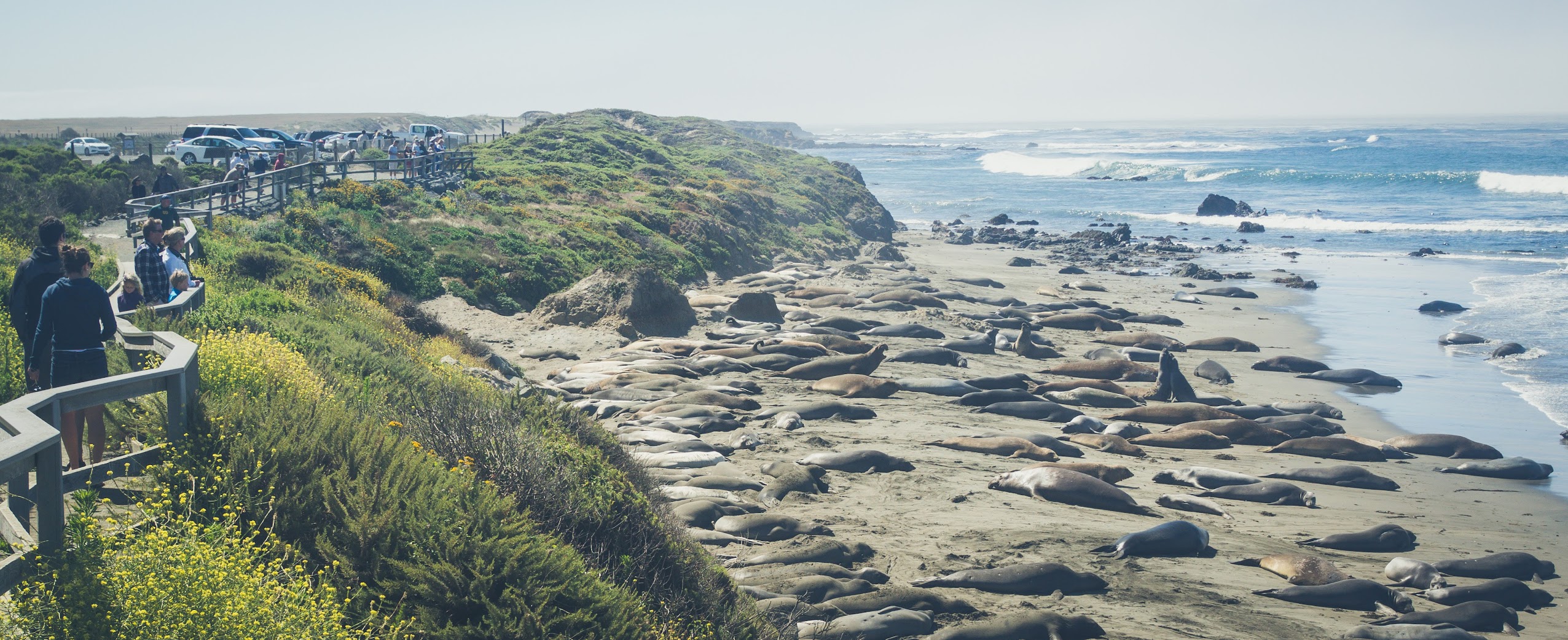
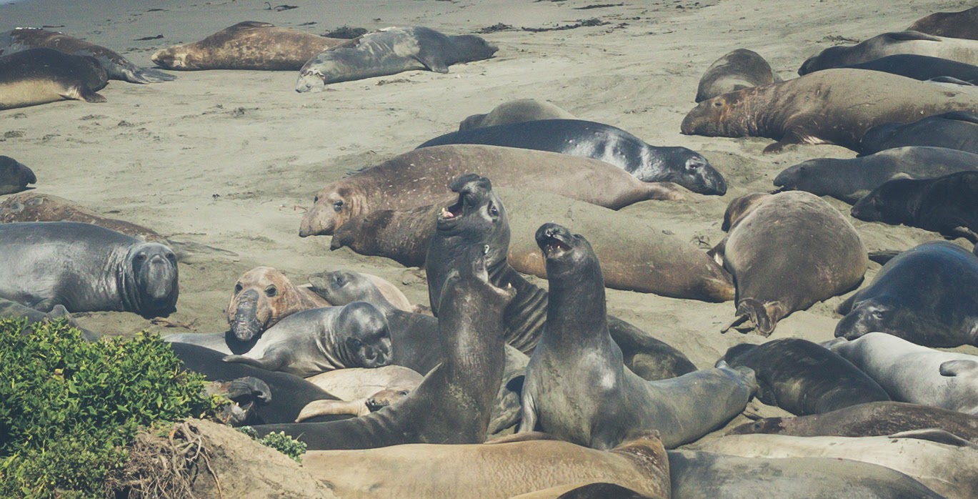
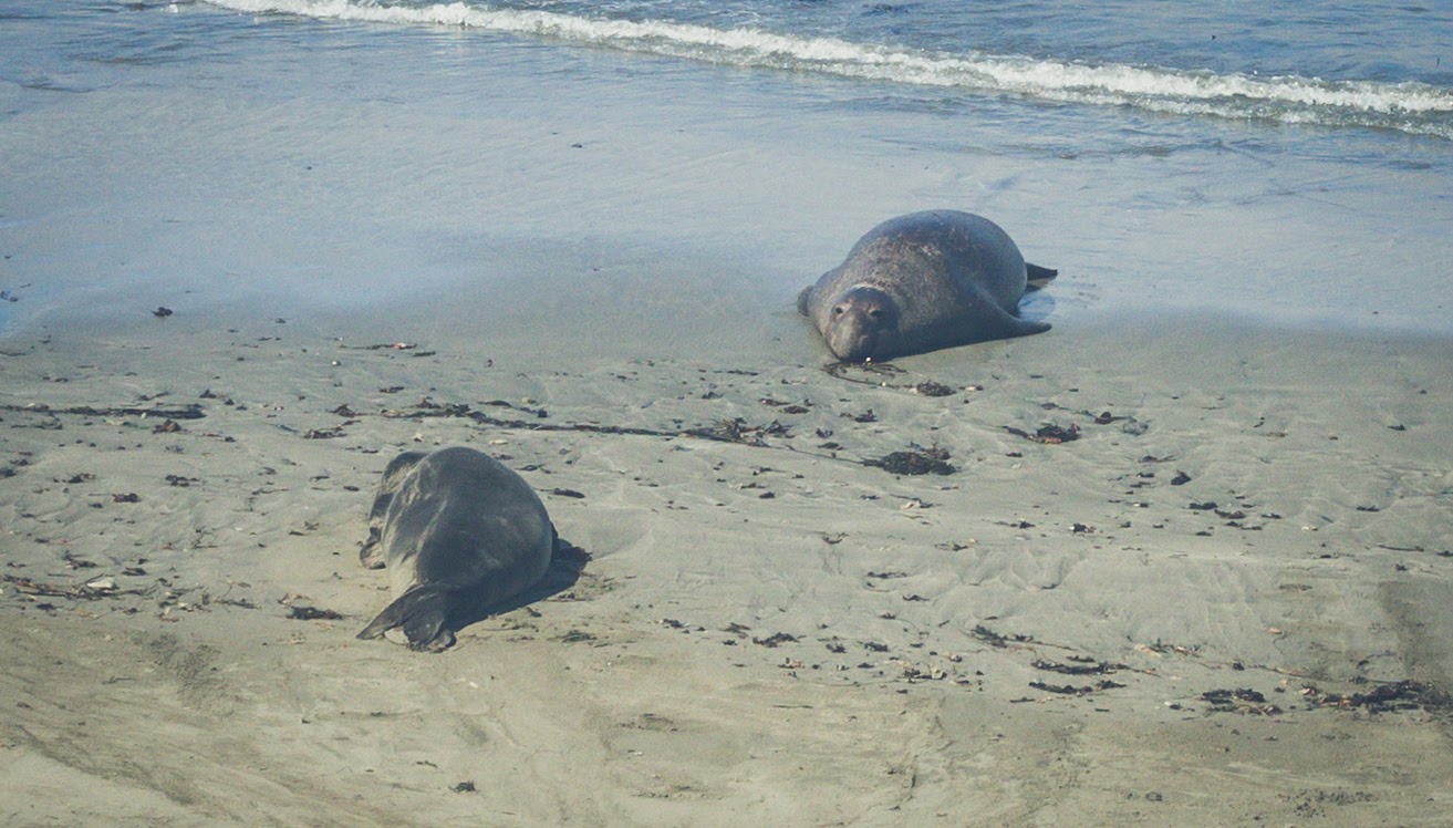
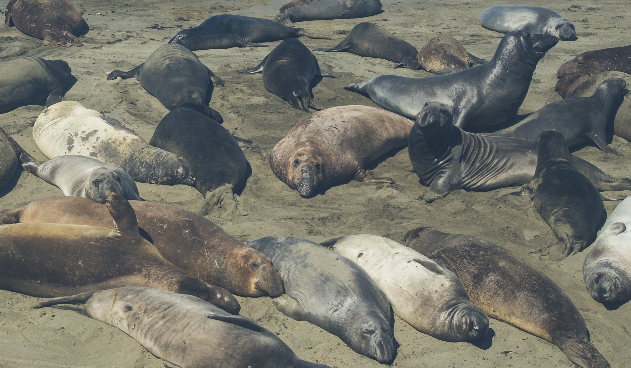
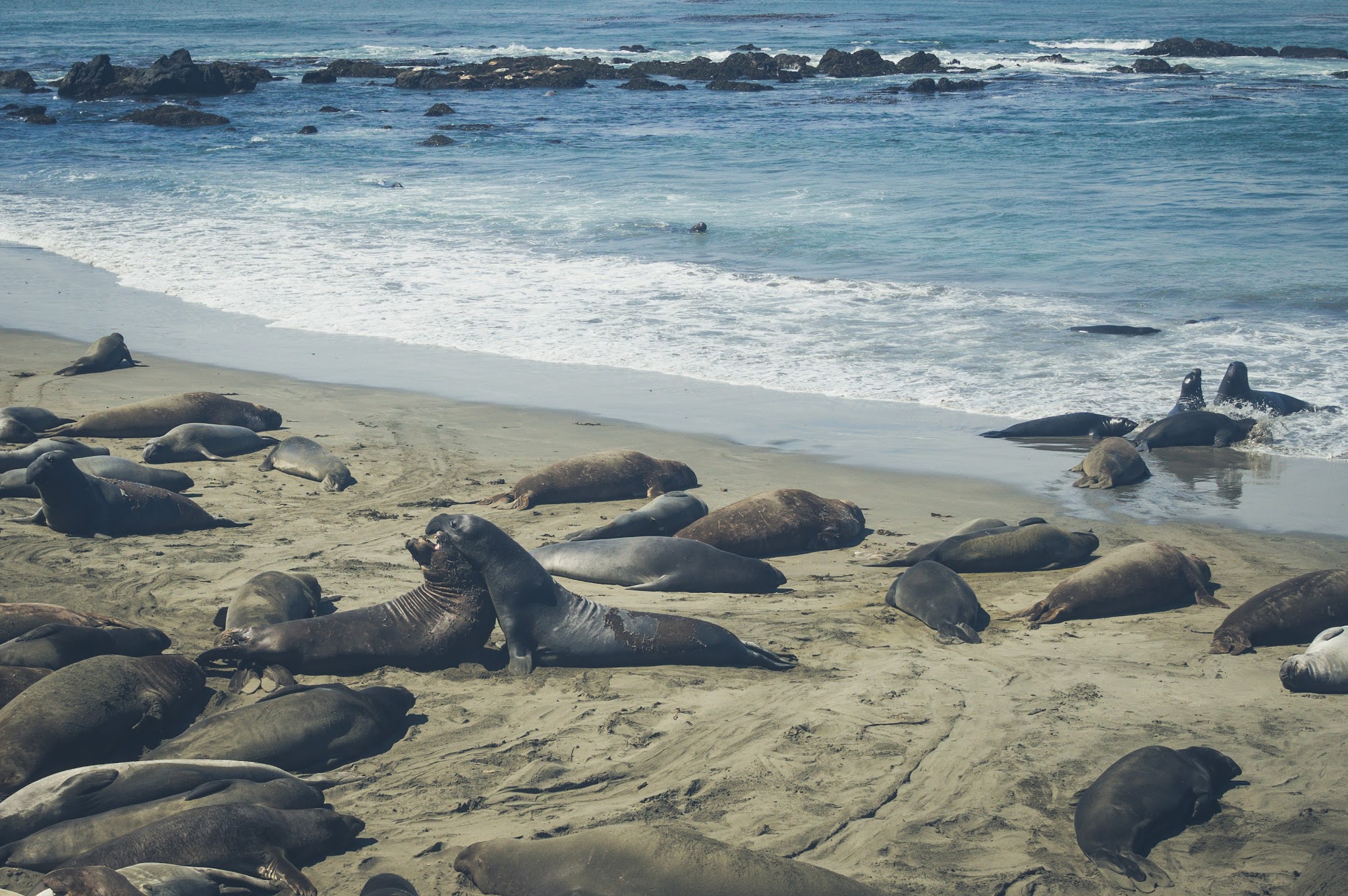
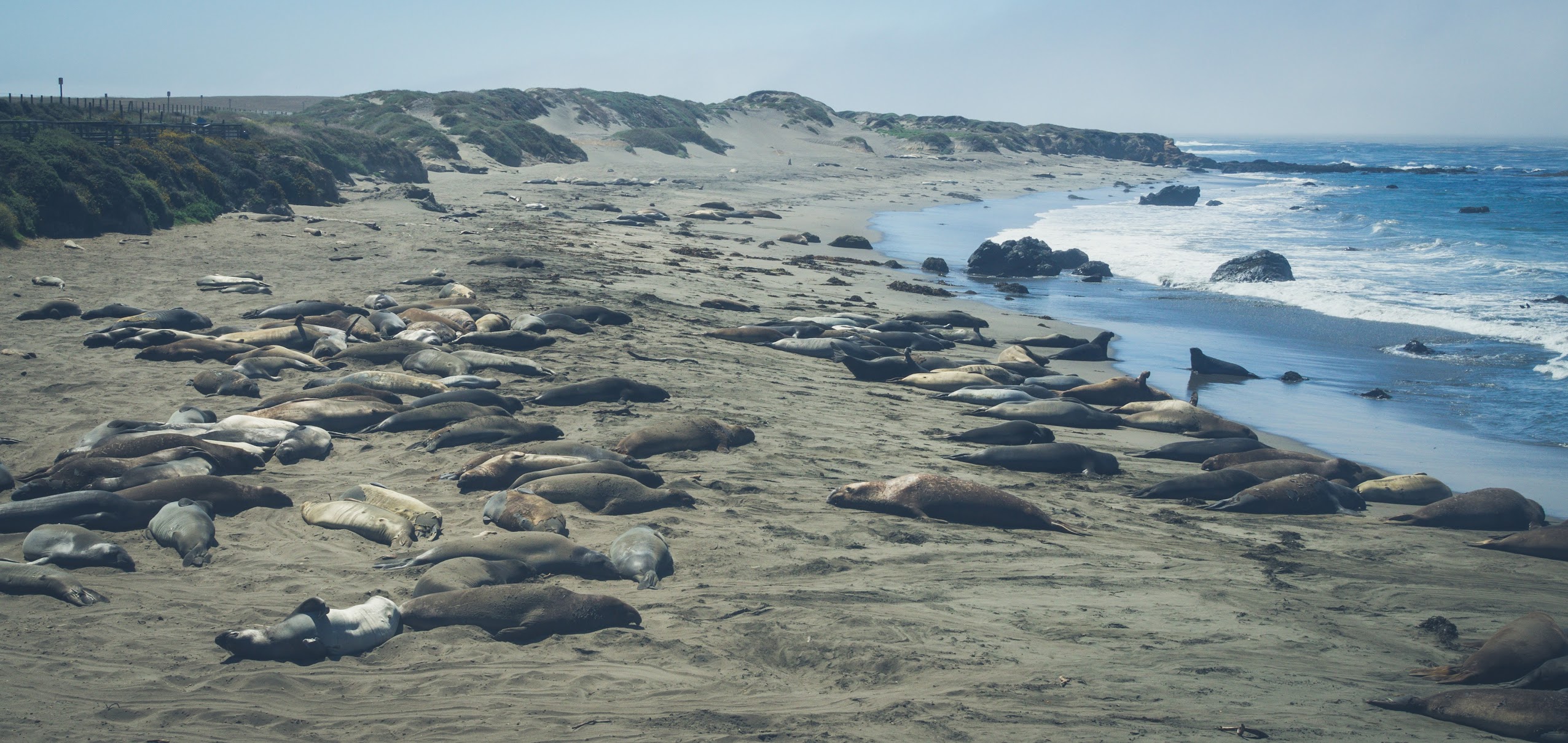
Elephant Seals at Point Piedras Blancas
We spent the night in San Simeon, at the Cavalier Oceanfront Resort. It’s a decent enough hotel, no real complaints, except that food options are a little lacking in the area. The next morning, we drove up to the Point Piedras Blancas to check out the local northern elephant seal population. Driven to near extinction in the 18th and 19th centuries, northern elephant seals began returning to Point Piedras Blancas in 1990, and the current population stands at over 23,000, as of 2015. Human visitors are restricted to the bluffs above the beach, though that’s still close enough to get a good look at the second largest seals in the world.


Looking Ahead
After Point Piedras Blancas, we doubled back down Highway 1 towards Cambria due to the closure of Big Sur. After grabbing lunch at Boni’s Tacos, an unassuming little Mexican food stand in Cambria – not surprisingly, the food was great – we got on Highway 46 towards Paso Robles, before turning onto the 101 for the long drive towards Point Lobos and Carmel-by-the-Sea. With that, the large part of our road trip was completed, and I’m going to end off my Pacific Coast Highway post here. Next up: our hikes through the spectacular Point Lobos State Reserve later that afternoon, and the rest of our second day on the road.